
Sale price
$1999
Welcome to Mamoko
Ages 5–8 · 2013
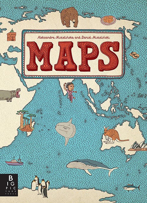
Written by Aleksandra Mizielinska and Daniel Mizielinski
Part of the Maps series
Explore the world's wonders through beautifully illustrated maps.
Embark on a global journey from your home with this captivating collection of maps. Discover cities, landmarks, and cultural icons, each page revealing the unique stories and secrets of our planet's diverse regions. What hidden treasures will you uncover?
Provides an illustrated collection of maps covering the continents and major nations of the world, detailing cities, landmarks, and cultural icons for each.
6.3
out of 7
“This is not a book to sit down and read--it's a book to spend hours poring over and exploring. The illustrations are fun and informative, making it a great way to let even young children dive into world geography. My three-year-old daughter loves to look at the maps on her own and ask questions about them. We also love looking at them together--especially maps of places we have lived or visited. This is an ideal first atlas to have in your home.”
Trusted reviewer
“As implied by the publisher description, this is not a "sit-down and read" book, but it is a lovely "sit-down and explore" book filled with super interesting maps that are illustrated with trademark animals, landmarks, people cities, and interesting tid-bits about each country or continent shown. What a cool reference book!”
Trusted reviewer


Surprise a reader with their next favorite book.
Spotted a mistake or something missing? Improve this page.
Are you the author or illustrator? Claim your book.


